Moving to South Austin and trying to picture your day-to-day? You are not alone. Commute patterns, neighborhood feel, and weekend options can look very different depending on where you land. In this guide, you will get clear on how long it takes to get around, what lifestyle each pocket offers, and how to weigh tradeoffs so you can choose with confidence. Let’s dive in.
What counts as South Austin
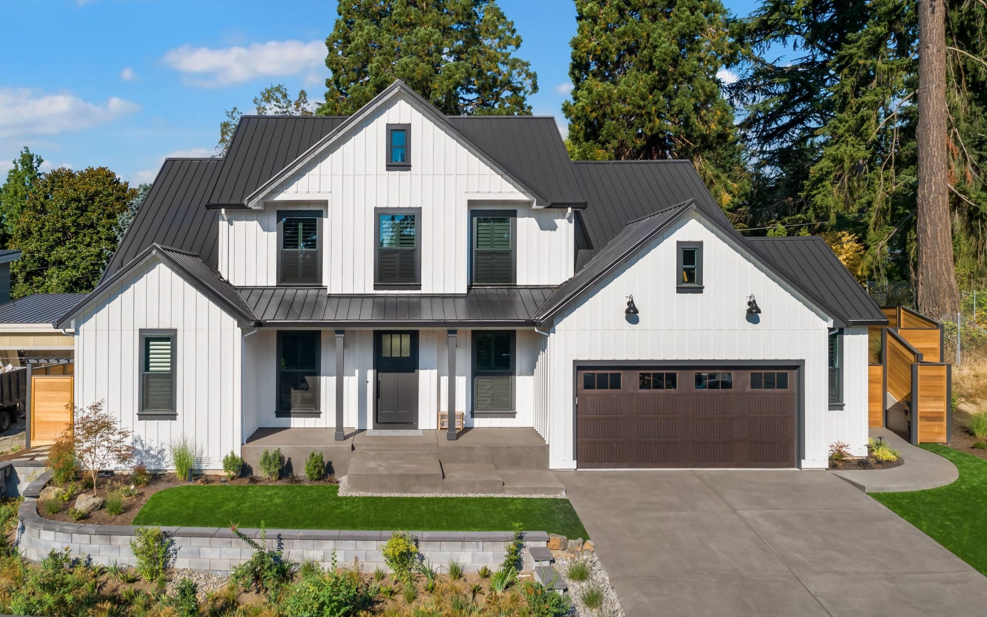
For this guide, South Austin refers to the city neighborhoods south of Lady Bird Lake and continuing through the Ben White, William Cannon, and Slaughter corridors. This includes central-south areas like Zilker, Bouldin Creek, Travis Heights, South Congress, South Lamar, and South First. It also covers farther south and southwest areas such as Barton Hills, St. Elmo, Galindo, Travis Country, Circle C Ranch, Oak Hill, Onion Creek, Riverside, and Southpark Meadows.
Why this matters: commute times and lifestyle shift as you move south. Central pockets near the lake feel more urban and walkable. Farther south feels more suburban with larger homes and yards.
Commute overview
South Austin residents commonly commute to downtown, the University of Texas, East Austin medical centers, the airport area, and North Austin tech hubs such as The Domain. According to recent American Community Survey estimates for Austin and Travis County, median travel times sit in the low to mid 20 minutes. Central South neighborhoods often run below the median. Farther south suburbs frequently run longer, especially if you drive to North Austin.
Primary routes
- I-35: Major north-south artery on the east side of downtown, often slow at peak hours.
- MoPac/Loop 1: North-south corridor west of central Austin that connects Oak Hill and the west side.
- Ben White/US-290/SH-71: The main east-west connector south of downtown, with known congestion at interchanges.
- South Congress Avenue: Direct route to downtown with steady surface traffic and active retail.
- South Lamar Boulevard: Key north-south alternative with bus service and mixed-use density.
- William Cannon, Slaughter, Brodie, Manchaca: Important crosstown connectors for southern neighborhoods.
Drive-time patterns
Think in ranges, and test your specific route during rush hour. These patterns are common:
- Central South to downtown: roughly 10 to 25 minutes in typical conditions.
- Circle C or Oak Hill to downtown: often 25 to 40 minutes, longer when incidents stack up on MoPac or Ben White.
- Central South to The Domain or North Austin tech: often 25 to 45 minutes, depending on MoPac or I-35 flow.
- Far south to The Domain: commonly 35 to 60 minutes at peak.
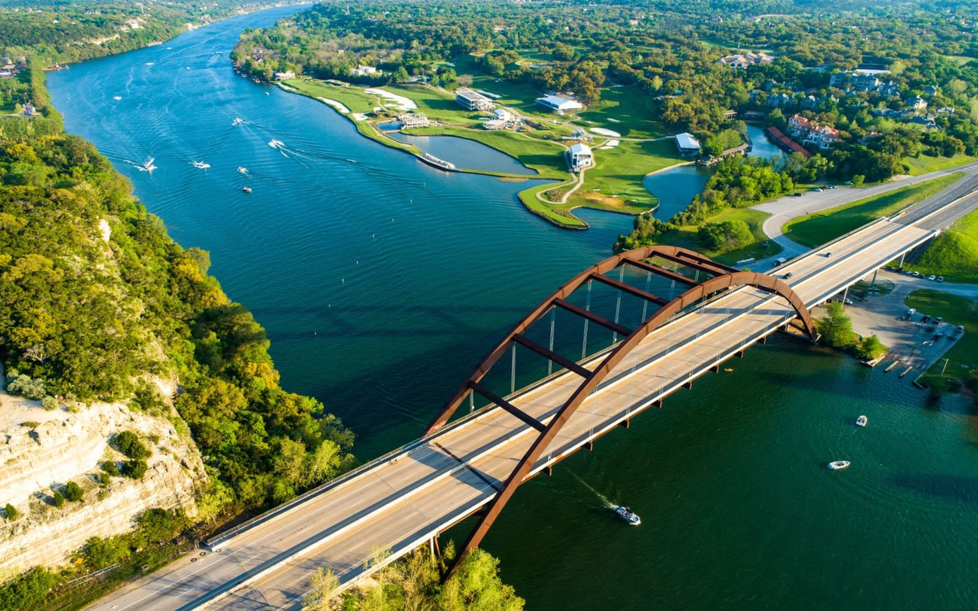
- Many South Austin addresses enjoy straightforward airport access, often 15 to 30 minutes via Ben White or Riverside approaches.
Tip: check live drive times from your exact address during your target commute window. A few minutes difference on the map can add up over a year.
Transit and alternatives
Capital Metro runs bus service along South Congress, South Lamar, and major east-west corridors like Ben White and William Cannon. Frequency is stronger on the core corridors. Park-and-ride options on southern approaches can help if you prefer to avoid the last mile of downtown driving.
Active options are strong in central South. The Ann and Roy Butler Hike-and-Bike Trail around Lady Bird Lake, the Barton Creek Greenbelt, and neighborhood bike lanes support cycling or scooter trips for short commutes. Rideshare and scooters are widely used in central pockets and are less convenient in far south suburbs.
Austin’s long-range transit plan, Project Connect, is progressing in phases and aims to add higher-capacity transit on select corridors. Alignments and timelines evolve, so check current public documents if rail or rapid transit access is a deciding factor for you.
Lifestyle highlights
South Austin blends nature, culture, and casual dining. Your weekend routine can look different if you live near Zilker versus Slaughter Lane.
Parks and outdoors
- Zilker Park and Barton Springs Pool: Flagship green space and spring-fed swim spot near central South neighborhoods. It is a hub for festivals and everyday recreation.
- Lady Bird Lake Trail: An easy-access loop for walking, running, and paddling. Proximity is a major draw for central South.
- Barton Creek Greenbelt: Beloved for hiking, climbing, and pockets of swimming when flows allow.
- McKinney Falls State Park: A short drive southeast for camping and creekside trails.
- Lady Bird Johnson Wildflower Center and Circle C Ranch Metropolitan Park: Great for southwest residents looking for family-friendly nature time.
Dining and culture
- South Congress: Boutique shopping, restaurants, and bars with a signature Austin vibe. High walkability and steady energy.
- South Lamar: A dense strip of restaurants, small music venues, and beloved food trucks.
- South First and surrounding junctions: Cafes, brunch spots, and local favorites.
- East Riverside and Southpark Meadows: Growing mix of local and national options, especially convenient for farther south and southeast addresses.
Food truck culture is strong across South Austin. You can find everything from creative tacos to ramen in trailer parks and clusters throughout the area.
Schools and family
Most of South Austin is served by Austin ISD. Boundaries and campus performance vary by address, so verify your specific home with the district map and review publicly available campus data. You will also find public pools, community centers, sports fields, and day-camp options throughout central and southern neighborhoods.
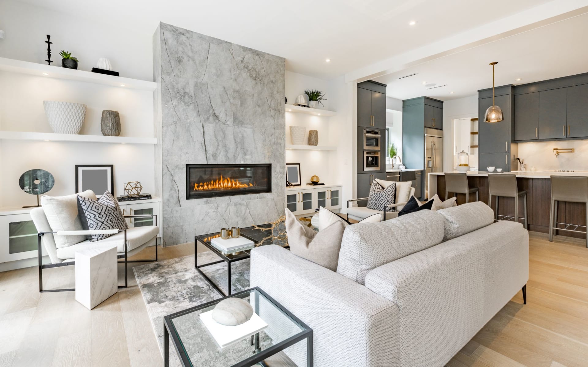
Homes and tradeoffs
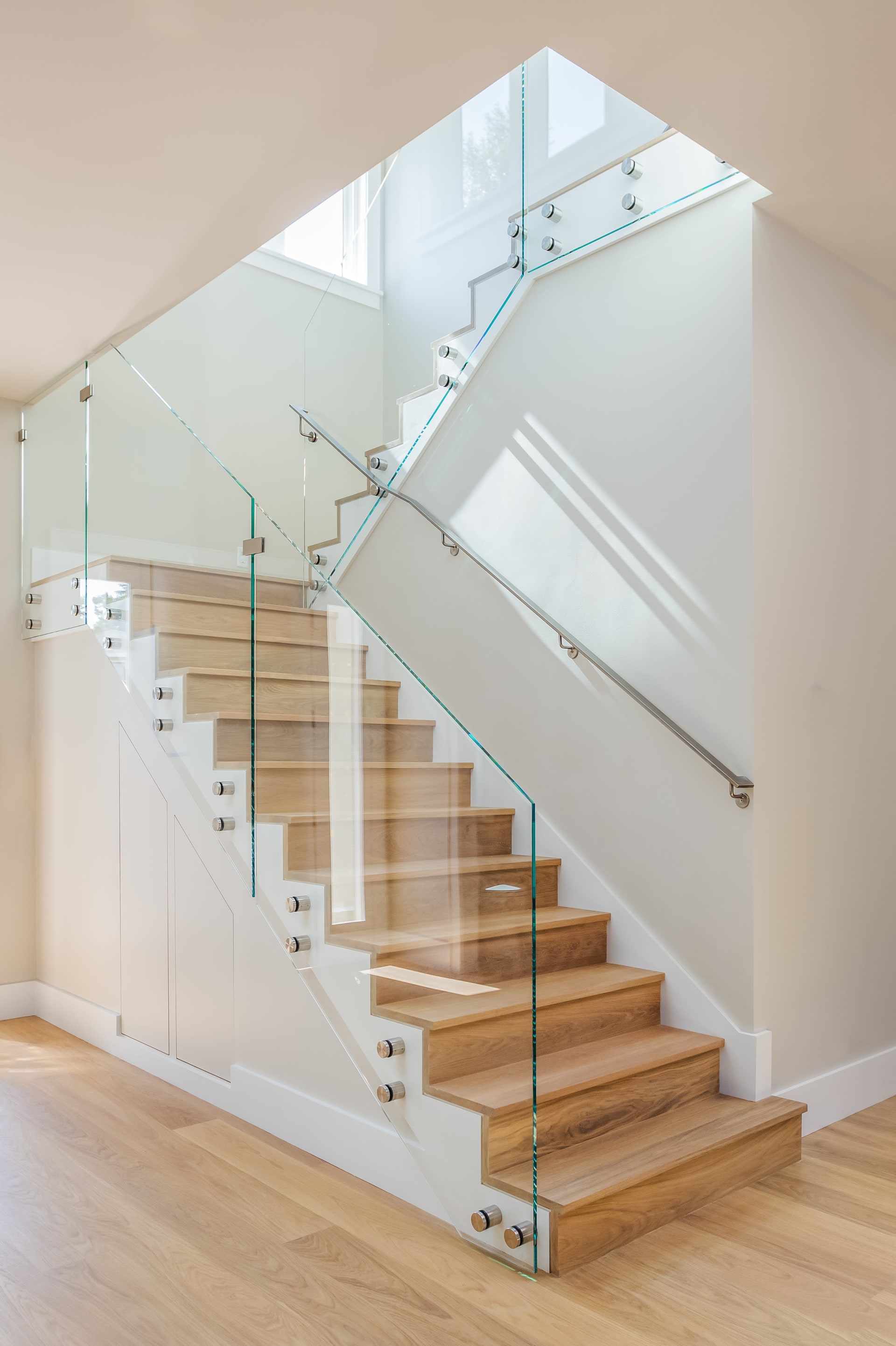
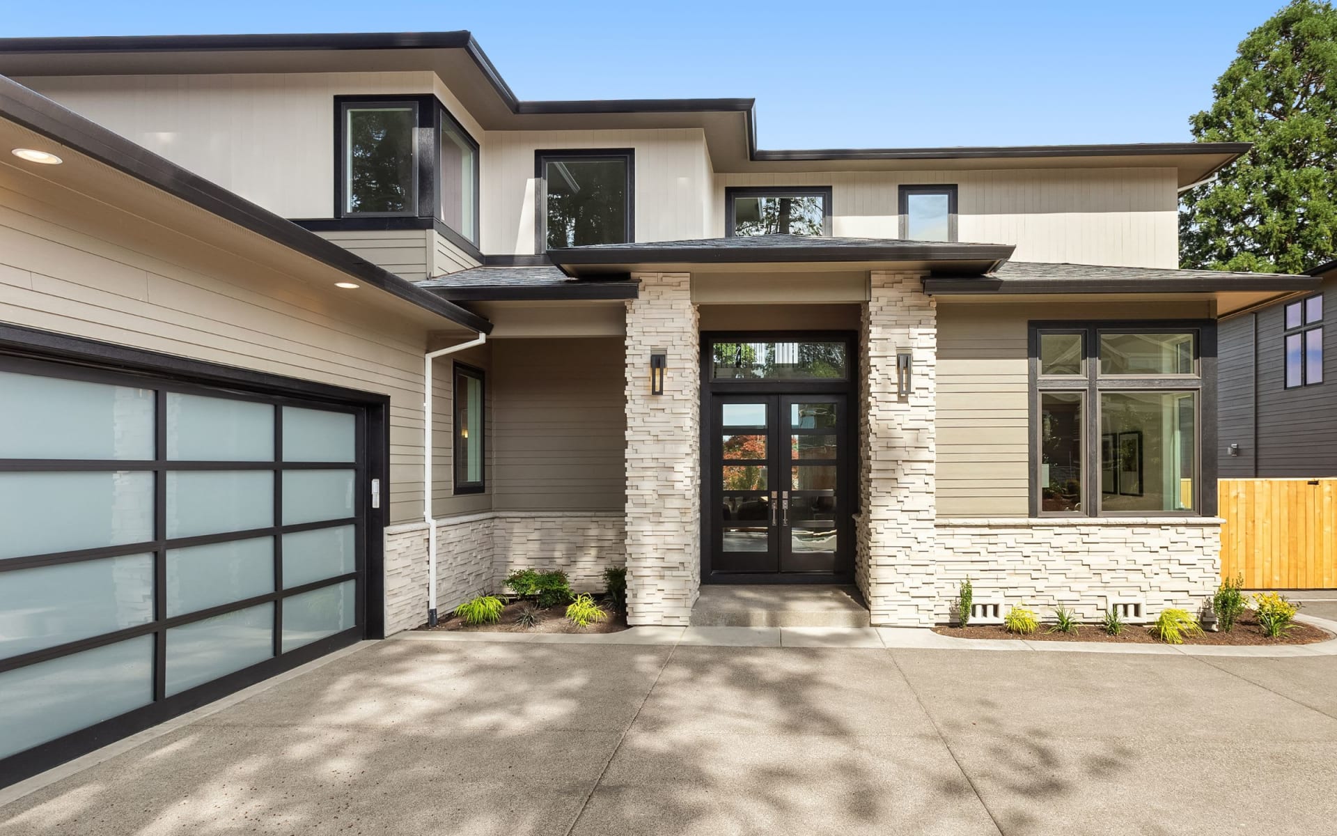
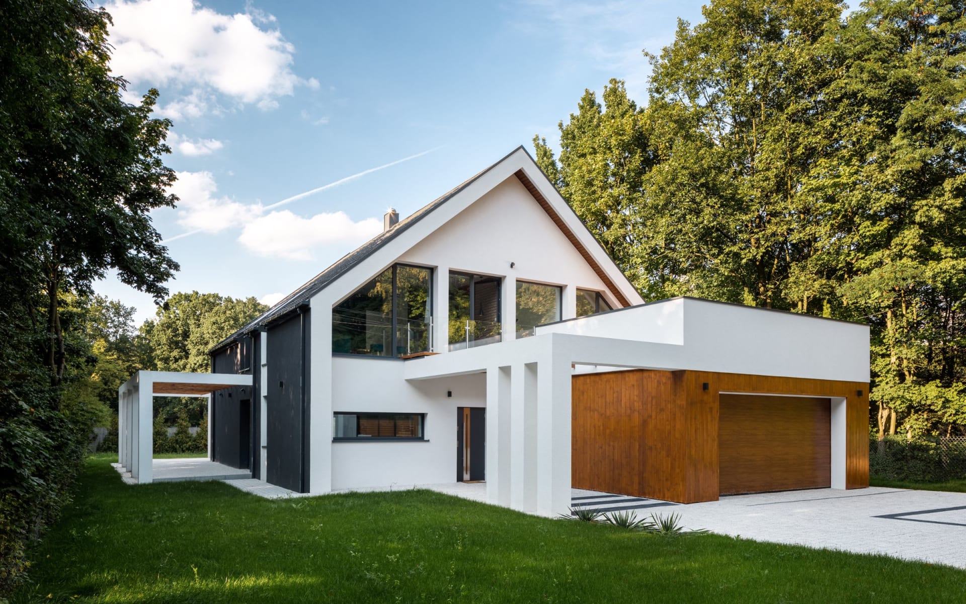
South Austin offers a wide mix of housing types, from historic cottages to larger suburban homes and modern infill.
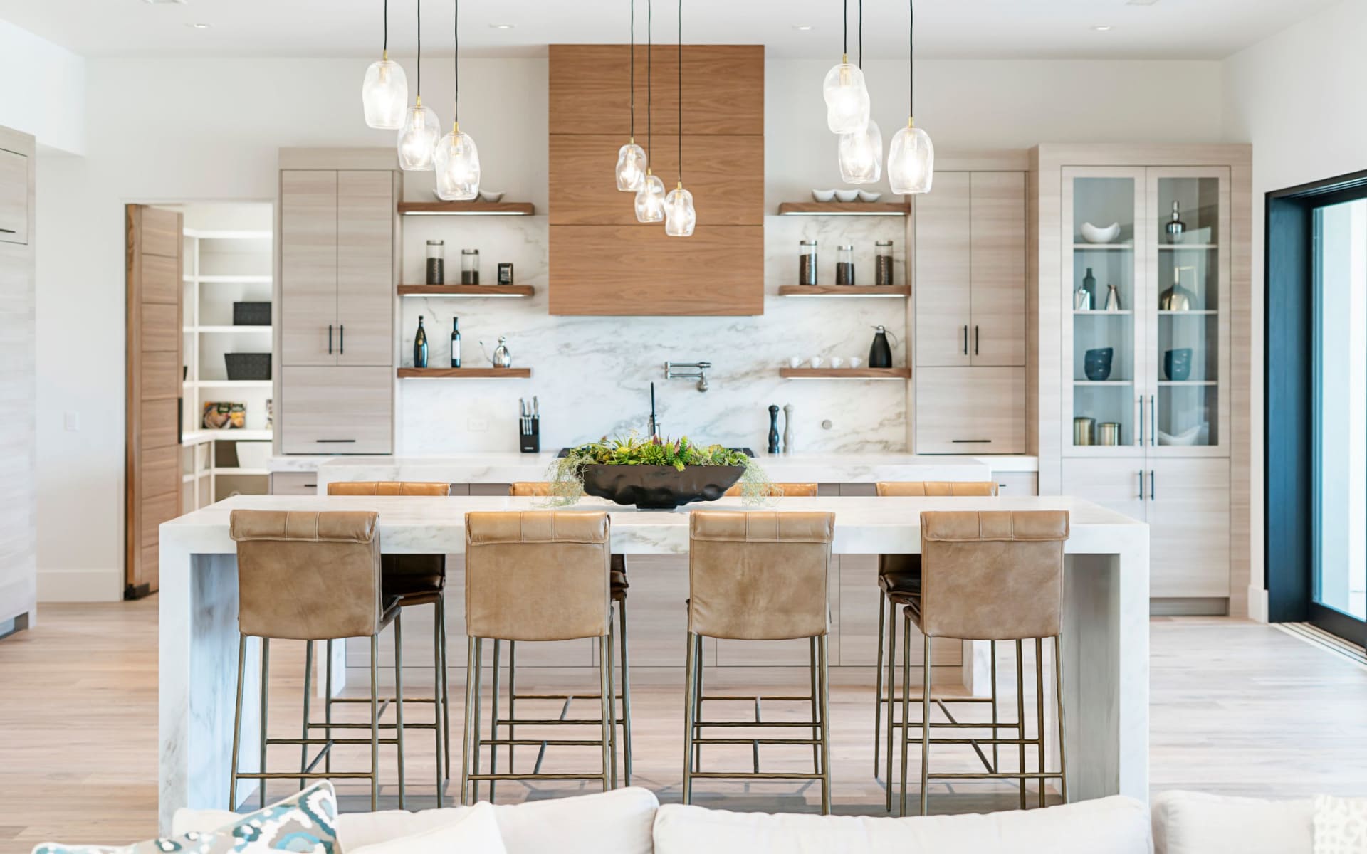
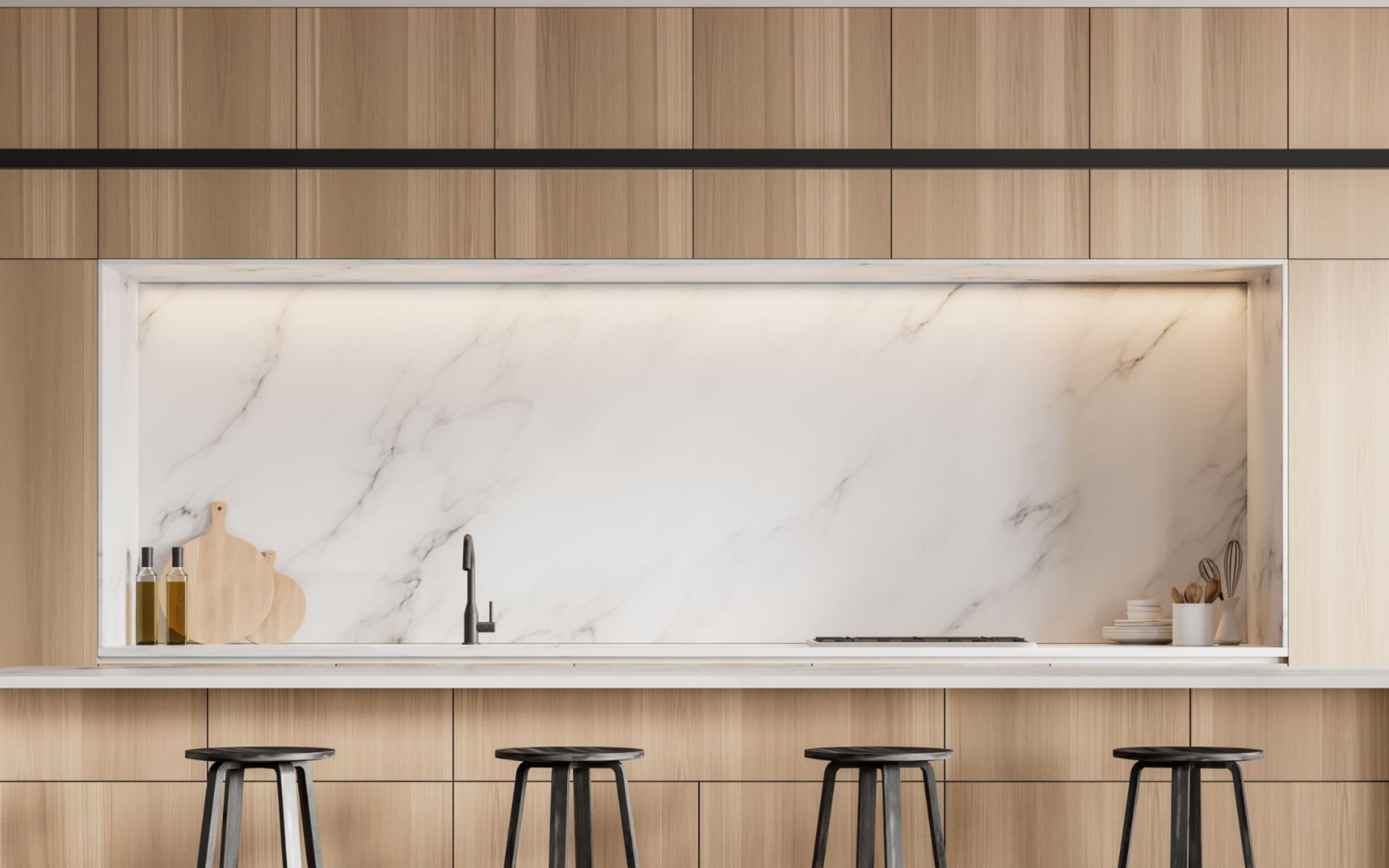
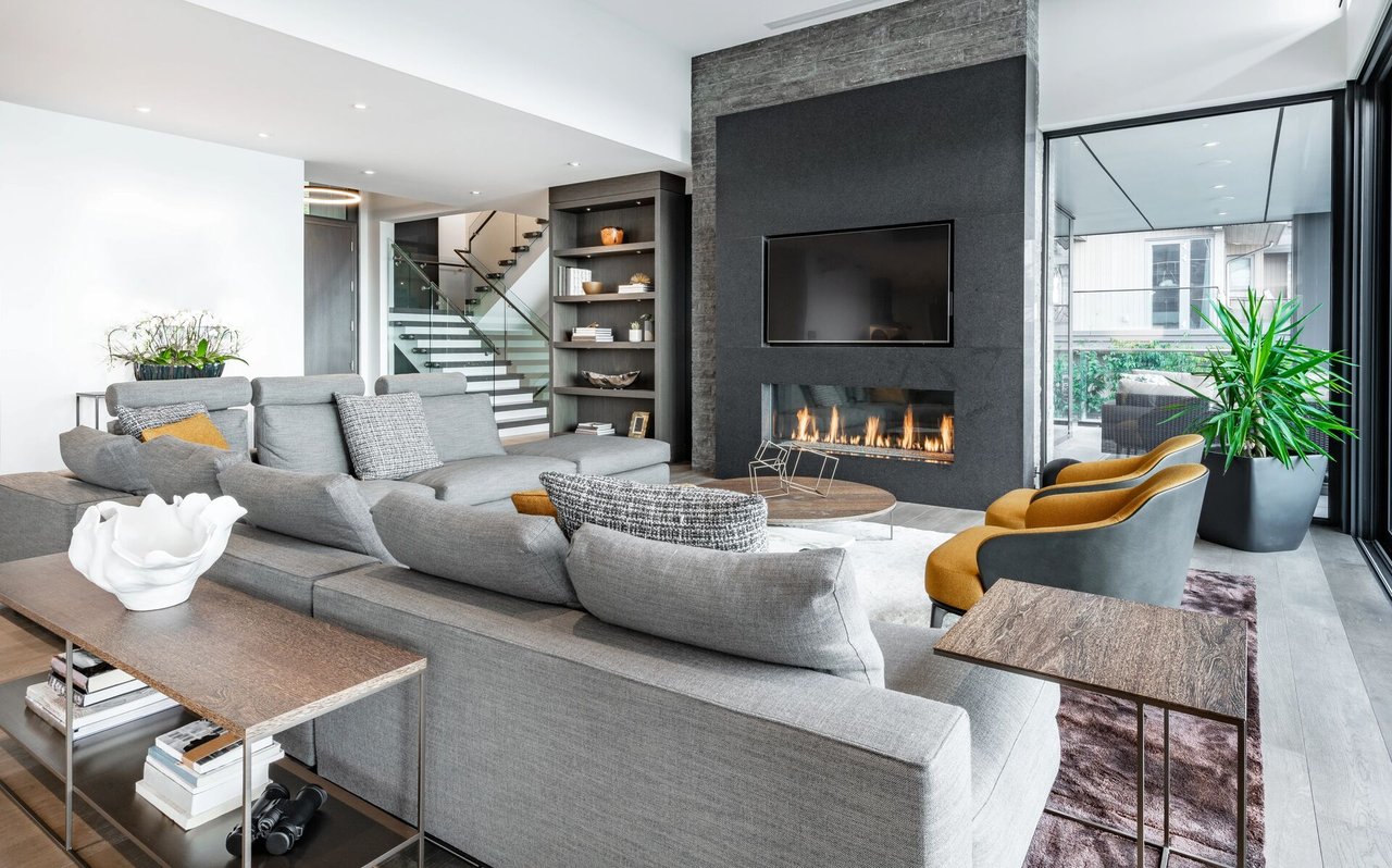
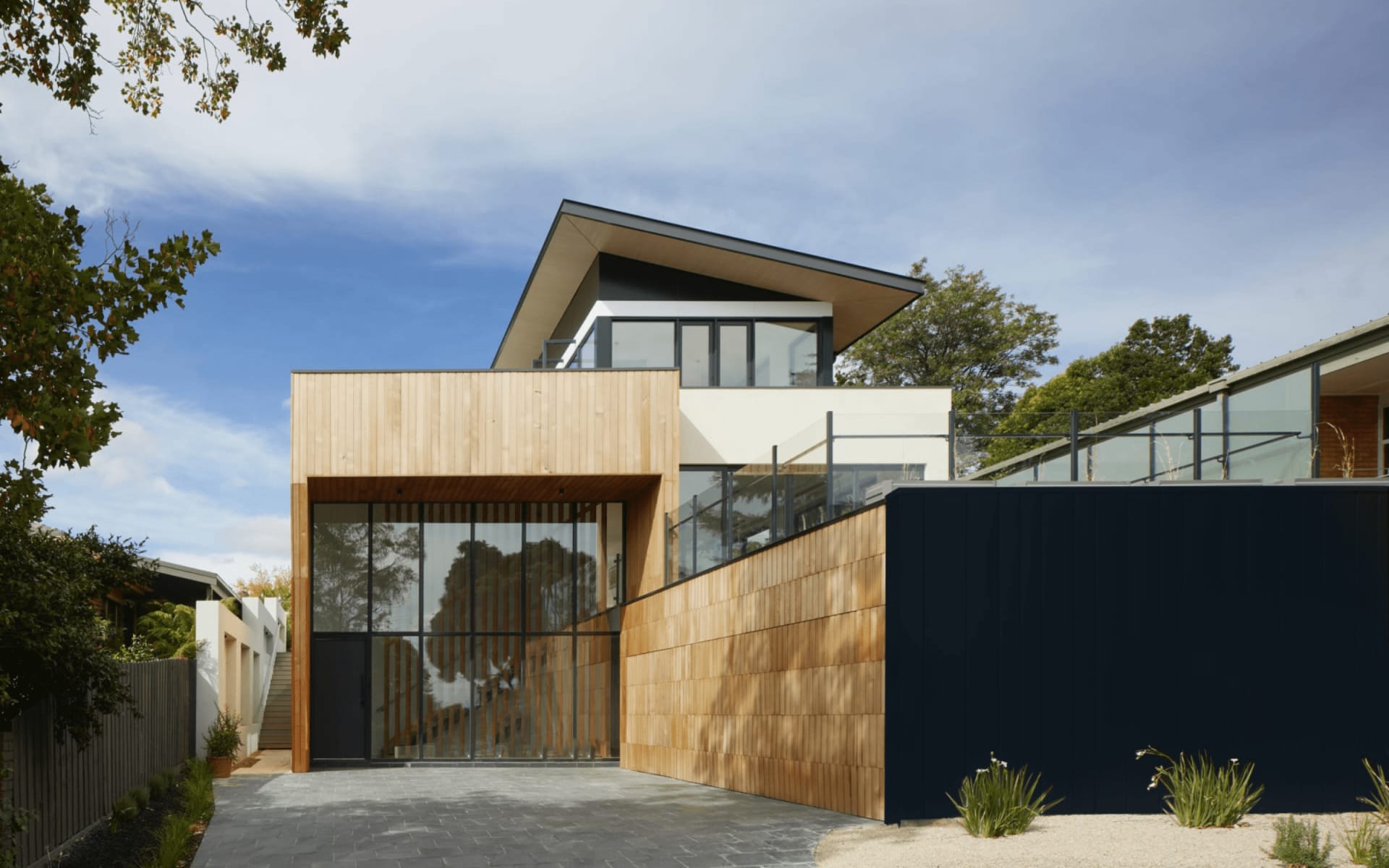
- Central South (Zilker, Bouldin Creek, Travis Heights, SoCo): Older bungalows and cottages, many renovated, plus growing infill such as townhomes, duplexes, and contemporary rebuilds on smaller lots.
- South Lamar and South First corridors: A blend of older single-family homes, townhomes, condos, and ongoing infill near dining and transit.
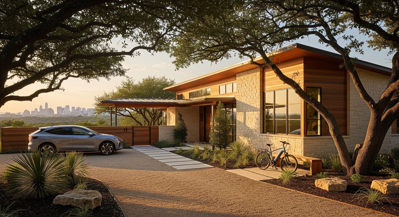
- Farther south and southwest (Circle C, Oak Hill, Southpark Meadows, Onion Creek): Newer suburban communities with larger single-family homes, planned amenities, and more frequent HOAs.
Price bands today
Home prices move quickly. As of January 2026, here is a general snapshot to frame expectations. Always confirm current numbers with recent MLS data for your target micro-area.
- Central South single-family: commonly above the city median, with many listings from the mid 600s into the high 800s and up, especially for renovated homes or larger lots.
- South Lamar and South First: mid to upper ranges that vary with lot size, renovation level, and proximity to retail.
- Farther south suburbs: often lower cost per square foot compared with central South, with many single-family options from the low 300s to mid 600s depending on age, size, and amenities.
- Townhomes and condos near central corridors: typically a lower entry point than single-family in the same area, with wide variation by finish, HOA, and parking.
Risks, taxes, and HOAs
- Renovation vs rebuild: Many central bungalows are candidates for major updates or redevelopment. City zoning, impervious cover, and permitting can affect timelines and budgets.
- Flood awareness: Some South Austin pockets, including areas near Onion Creek and low-lying tributaries, sit within mapped floodplains. Order elevation certificates, review FEMA maps, and price potential flood insurance where relevant.
- Carrying costs: Travis County property taxes and Austin utilities impact monthly payments. Factor this into your budget, especially if you are relocating from a lower-tax market.
- HOAs: More common in master-planned communities and newer townhome projects. Older central neighborhoods typically have few mandatory HOAs.
Find your fit
Use your daily routine to guide you. If you want a short trip to downtown meetings and quick access to Lady Bird Lake, focus on Zilker, Travis Heights, Bouldin Creek, SoCo, and nearby pockets. If you want more space and a yard at a lower price per square foot, look at Circle C, Oak Hill, Southpark Meadows, and Onion Creek. If you value a mix of dining access and infill housing variety, explore South Lamar and South First.
A simple process can help:
- List your top three commute destinations and required peak-hour arrival times.
- Rank walkability, yard size, and home style in order of importance.
- Set a target budget range that accounts for taxes, HOA, and insurance.
- Shortlist two to three micro-areas, then test live drive times and tour homes to validate the fit.
Work with Soud Twal
If you are relocating, you deserve a streamlined, concierge approach that connects commute, lifestyle, and value. Soud combines deep South Austin knowledge with new construction and off-market access, plus a process-driven plan for inspections, contractors, and fast closings. Ready to get tailored options that match your commute and wish list? Book a Consultation with Soud Twal to start your South Austin search.
FAQs
What is considered “South Austin” for relocation planning?
- For this guide, it includes neighborhoods south of Lady Bird Lake through Ben White, William Cannon, and Slaughter, from central pockets like Zilker and Travis Heights to farther south areas like Circle C and Oak Hill.
How long is the commute from South Austin to downtown?
- Many central South routes run about 10 to 25 minutes in typical conditions, while farther south areas often range 25 to 40 minutes or more at peak.
Is public transit practical for daily commuting in South Austin?
- Bus service is strongest along South Congress and South Lamar with park-and-ride options, and it can work well for some routes, but frequency and first-last mile needs vary by address.
How close is South Austin to the airport?
- Many South Austin neighborhoods enjoy straightforward access to the airport, often in the 15 to 30 minute range via Ben White or Riverside, traffic permitting.
What are typical home prices in South Austin right now?
- As of January 2026, central South single-family homes often start in the mid 600s and reach into the high 800s and up, while farther south areas commonly offer options from the low 300s to mid 600s.
Are there flood risks I should know about in South Austin?
- Yes, some pockets sit in mapped floodplains near creeks and low-lying areas, so review FEMA maps, order elevation certificates, and budget for flood insurance if needed.
How does Project Connect affect South Austin commutes?
- Project Connect is adding higher-capacity transit in phases and may improve options on select corridors over time, but alignments and timelines are evolving and should be checked before you decide.